


Tootja info
Hybrid Mapping Software for Precision Farming
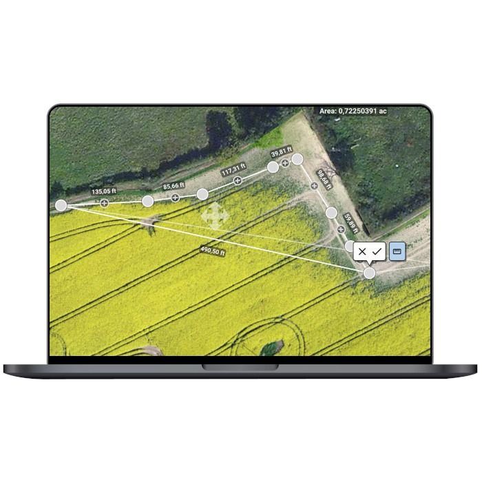
Pix4Dfields is a product built from the input of farmers, agronomists and breeders to give you fast and accurate maps while in the field, with simple yet powerful interface fully dedicated to agriculture. One product for all of your drone-based agricultural workflows.
Applications
- Crop Protection
- Crop Production
- Insurance
- Farm Management
- Breeding
Inputs
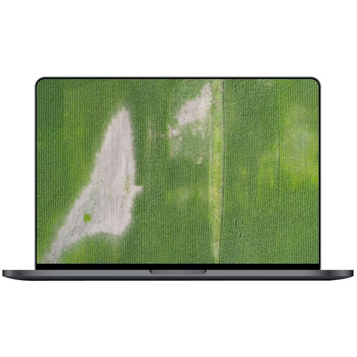
- Multispectral images (JPEG or TIFF)
- RGB images (JPEG)
- Pre-processed maps (GeoTIFF)
- Field boundaries (GeoJSON, KML or Shapefile)
- Annotations (GeoJSON, KML or Shapefile)
- Satellite data (Sentinel-2 satellite data)
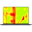
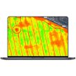
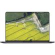
Processing Features
- Fast processing
- Rig relative calibration
- Radiometric correction
- Field boundary editor
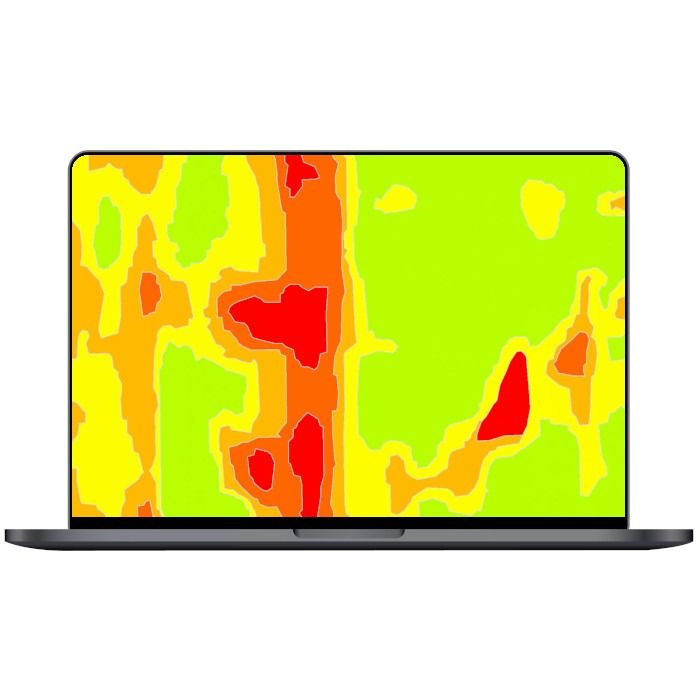
- Index generator (e.g. LCI, NDRE, NDVI, TGI, VARI)
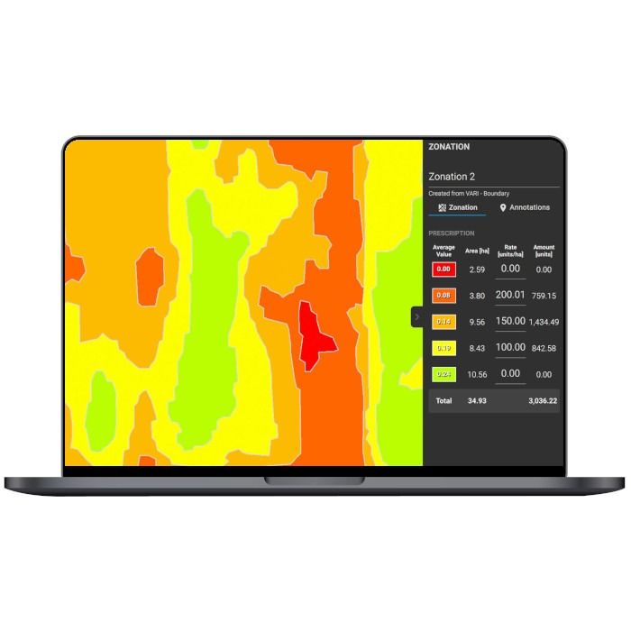
- Zonation tool
- Prescription tool
- Variable rate and spot spraying maps
- PDF report generator
Lisainformatsioon
| Kaubamärk | PIX4D |
|---|---|
| MPN | PIX4D-FIELDS-ST-1M |